


Task: Evaluate stope polygon
When you have a polygon of the proposed stope, you can create a temporary solid from it to represent a part of the stope.
- On the Underground Design toolbar, click the Query block model
 button.
 - Click Apply.
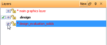
- In the Layer manager, show the design_evaluation_solids layer.
- Right-click in Graphics, and choose 3D Planes mode.
- In the Planes panel, click Set large projections
 to show the data outside the plane that is currently active.
 - Rotate the view.
This button runs the EVALUATE STOPE POLYGON function which reports on grade, metal, mass, and volume within each rock type. In this section of the ore body there are two rock types: c (country rock) and q (quartz porphyry).
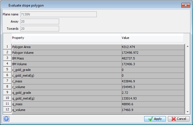
A temporary solid is created, in the design_evaluation_solids layer in Graphics. This solid is projected to the edges of the plane.
 Note:
Because the Dip and Dip direction that you entered are both 0, the projection is perpendicular to the plane.
Note:
Because the Dip and Dip direction that you entered are both 0, the projection is perpendicular to the plane.
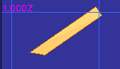
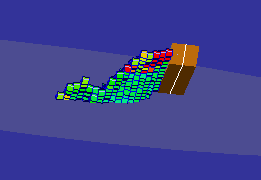
The temporary solid is approximate. It is useful for highlighting locations where you might adjust the points of the polygon to include more ore or to exclude more waste.