Creating a DTM
Task: Create a DTM – graphics-based method
-
Click Reset graphics
 .
. - Open topo1.str in Graphics.
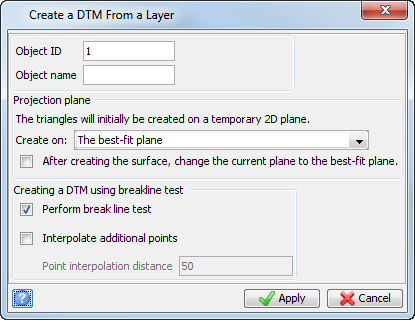
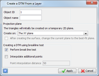
- Choose Surfaces > Create DTM from layer.
- Enter the information as shown, and click Apply.
- Choose File > Save > String/DTM.
- Enter the information as shown, and click Apply.
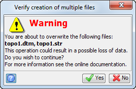
- Click Yes.
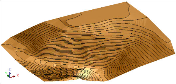
topo1 is displayed.
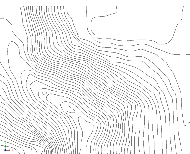
The DTM surface is displayed.
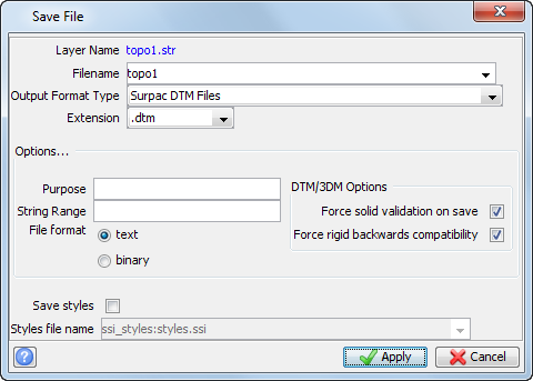
 Note: Because the string file exists, you are asked if you want to replace it.
Note: To see all of the steps performed in this task, run _01a_create_DTM_from_layer.tcl. You need to click Apply on any forms presented.
Task: Create a DTM – file-based method
In addition to demonstrating how to create a DTM using a file-based method, this task demonstrates the effect of using strings as breaklines.
- Click Reset graphics.
- Choose Surfaces > DTM File functions > Create DTM from string file.
- Enter the information as shown, and click Apply.
- Close the log file.
- Open pit1.dtm in Graphics.
- Choose Surfaces > DTM File functions > Create DTM from string file.
- Enter the information as shown, and click Apply.
- Close the log file.
- Open pit1.dtm in Graphics.
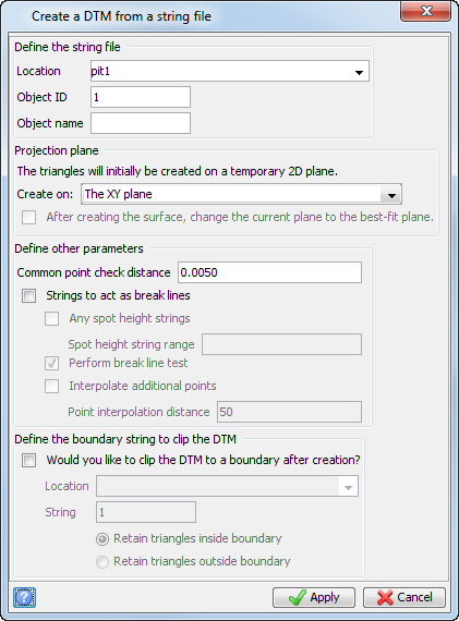
Note: The Strings to act as break lines check box is not selected.
DTM information is displayed in the message window.

The DTM report log opens in your default text editor.
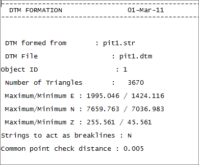
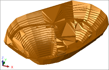
Note: There are triangles in the DTM that are created across strings. This result is not desired.
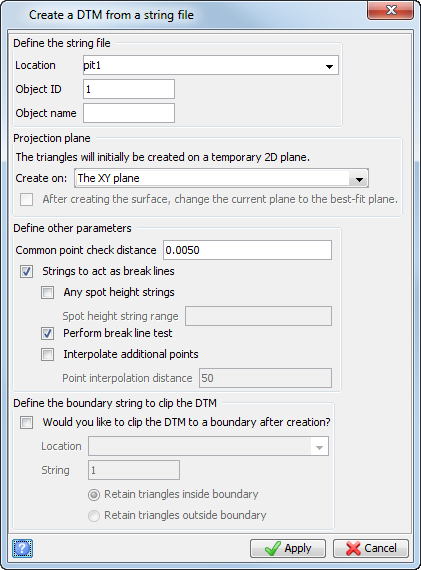
Note: The Strings to act as break lines check box is selected.
The DTM is created and the log file opens in your default text editor.
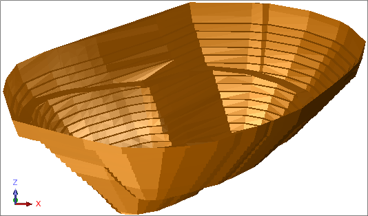
Note: To see all of the steps performed in this task, run _01b_create_DTM_from_string_file.tcl. You need to click Apply on any forms presented.
Task: Create a DTM from spot height data
- Click Reset graphics.
- Open dhc2.str in Graphics.
- Choose Display > Hide everything.
- Choose Display > Point > Markers.
- Enter the information as shown, and click Apply.
- Choose Surfaces > DTM File functions > Create DTM from string file.
- Enter the information as shown, and click Apply.
- Close the log file.
- Open dhc2.dtm in Graphics.
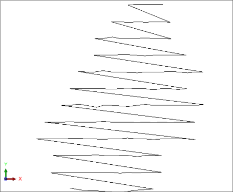
Note: This file is a survey of drillhole collars before mining and can be used to model the natural surface. The file consists of one spot height string.
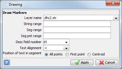
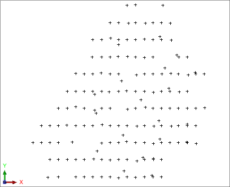
The string is displayed as markers.
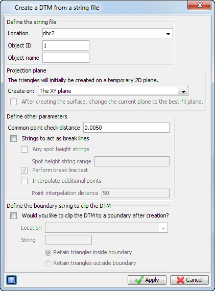
The DTM is created and the report log opens in your default text editor.
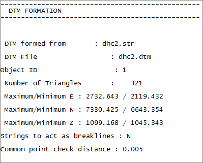
The DTM is displayed with markers.
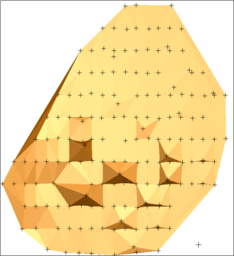
Notes:
- The default display view of a DTM is without markers.
- To see all of the steps performed in this task, run _01c_create_dtm_from_spot_height_data.tcl. You need to click Apply on any forms presented.
Task: Create a DTM using breaklines and spot heights
- Click Reset graphics.
- Open pit2.str in Graphics.
- Choose Display > Strings > With string numbers.
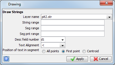
- Enter the information as shown, and click Apply.
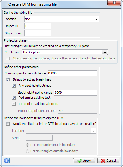
- Choose Surfaces > DTM File functions > Create DTM from string file.
- Enter the information as shown, and click Apply.
-
Click Reset graphics
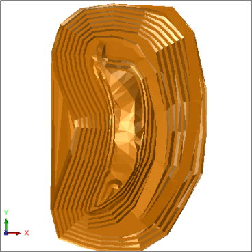
. - Open pit2.dtm in Graphics.
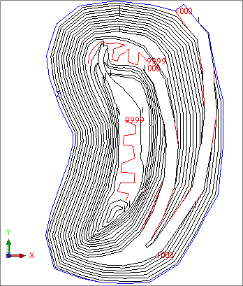
Note: You can see that string 9999 is a spot height string.
The pit is displayed in plan view.
Note: To see all of the steps performed in this task, run _01d_create_dtm_using_breaklines_and_spot_heights.tcl. You need to click Apply on any forms presented.
Task: Create a DTM on the plane of best-fit
- Click Reset graphics.
- Open topo2.str.
- Choose Surfaces > Create DTM from Layer.
- Enter the information as shown, and click Apply.
- Click Long section view.
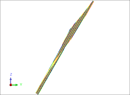
- The DTM has been created on the best-fit plane for the data.